Questions and activities
Q1. How do different features of the ocean floor affect human activities such as fishing, transport, and underwater exploration?
Answer: Different features of the ocean floor influence fishing, transport, and underwater exploration in the following ways:
1. Continental Shelf: It is rich in marine life and resources such as oil and gas. It supports fishing activities and resource extraction.
2. Continental Slope: It marks the steep edge of a continent and helps us understand the shape of the ocean floor.
3. Abyssal Plain: It is a vast, flat, and deep part of the ocean floor.
4. Mid-Ocean Ridge: It is an underwater mountain range formed by volcanic activity and is important for studying the ocean floor.
5. Ocean Trenches: These are the deepest parts of the ocean and are important for underwater exploration.
Thus, ocean-floor features affect the availability of marine resources, navigation, and the exploration of underwater areas.
Q2. How do waves, tides, and ocean currents influence climate, marine life, and human activities around the world?
Answer: Waves, tides, and ocean currents influence climate, marine life, and human activities in the following ways:
1. Waves: Waves shape coastlines through erosion and sediment transport. They form features such as caves, arches, and beaches. Strong waves during storms can damage coastal areas.
2. Tides: Tides help ships enter harbours by raising the water level. They support fishing activities because fish often move closer to the shore during high tide. Tidal changes can also be used to generate electricity.
3. Ocean Currents: Warm and cold currents influence the temperature of nearby coastal regions. For example, the warm Gulf Stream keeps waters near Norway relatively warm, while the cold Labrador Current supports the formation of sea ice and icebergs. Areas where warm and cold currents meet are rich in nutrients and provide important fishing grounds.
Therefore, these ocean movements affect climate, marine life, fishing, navigation, and coastal activities.
Q3. Describe the importance of marine resources.
Answer: Marine resources are the materials and features found in oceans that have intrinsic or economic value. They are important for the following reasons:
1. Food and Livelihoods: Fish and seafood provide food, while fishing and aquaculture support the livelihoods of many people.
2. Energy Resources: Oceans provide oil, natural gas, tidal energy, wave energy, and other potential sources of energy.
3. Minerals and Materials: Oceans contain minerals, sand, and gravel that are useful resources.
4. Trade and Transport: Oceans support international trade and transportation through sea routes.
5. Tourism: Coastal areas attract tourists and support tourism-related activities.
6. Biodiversity: Oceans support numerous plant and animal species and unique ecosystems such as coral reefs.
7. Cultural Significance: Marine resources, such as conch and cowrie shells, have cultural and traditional importance.
Marine resources must be used responsibly to protect marine ecosystems and support future generations.
Q4. Draw a poster that encourages people to protect marine resources. Include a slogan (like Save Our Seas or Fish for the Future) and explain your message in 2–3 sentences.
Answer:
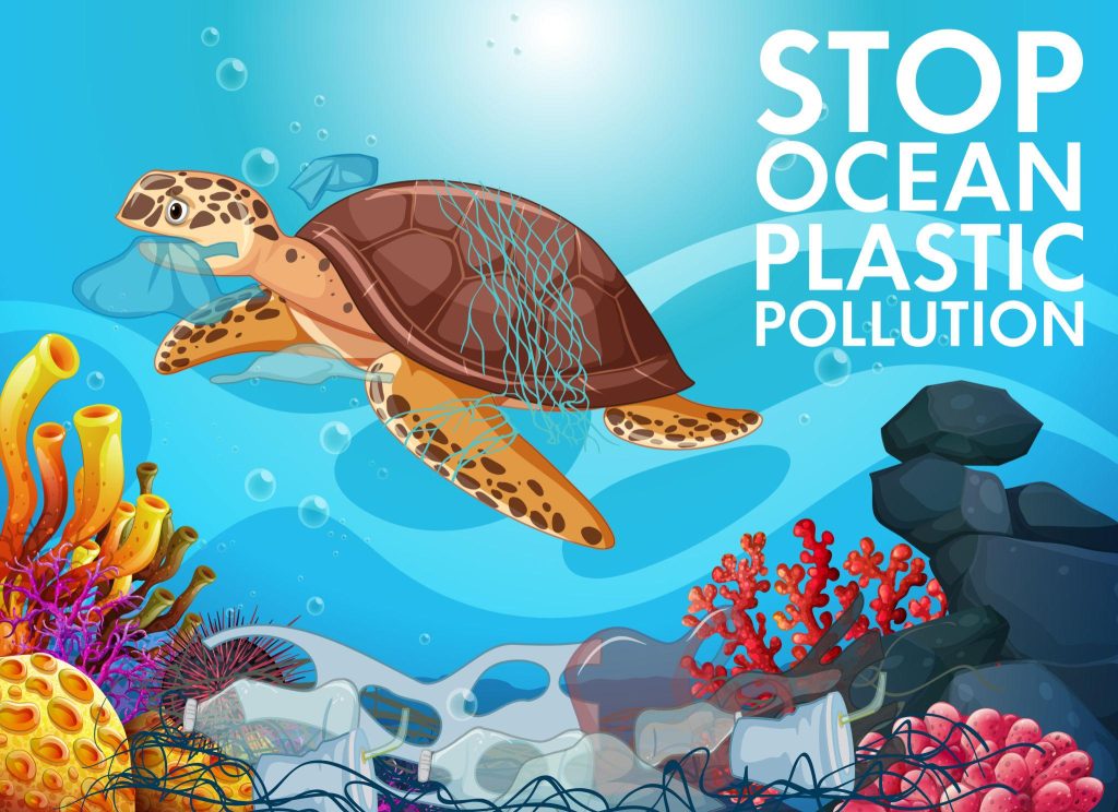
SAVE OUR SEAS!
Protect Marine Life, Protect Our Future
Keep our oceans clean. Protect marine animals and conserve ocean resources.
Healthy Oceans = Healthy Planet
Message: Oceans provide food, energy, livelihoods, and habitats for numerous marine species. We should reduce marine pollution, protect marine ecosystems, and use ocean resources sustainably to preserve them for future generations.
Q5. Using a map of India, mark at least five coastal states that might need tsunami warnings.
Answer: Mark the following five coastal states on the map of India:
1. Gujarat
2. Maharashtra
3. Andhra Pradesh
4. Tamil Nadu
5. Odisha
These coastal states may require tsunami warnings to protect people and property from the effects of tsunamis.
Q6. Work in a group and act out what would happen when a cyclone warning is issued. Highlight what role different people, like scientists, officials, and coastal villagers, would play.
Answer: A role-play on a cyclone warning can be presented as follows:
1. Scientists: They monitor storms using advanced technologies and predict cyclones at an early stage.
2. Government Officials: They issue warnings, coordinate emergency responses, and arrange evacuation and cyclone shelters.
3. Coastal Villagers: They listen to official warnings, move to safer places, and follow safety instructions.
4. Fishermen: They avoid going out to sea and follow marine weather alerts.
5. Emergency Response Teams: They help evacuate people and provide assistance during emergencies.
Conclusion: Early warning systems, timely communication, public awareness, and cooperation help protect people and reduce the loss of life during cyclones.
Q7. Suppose a foreign ship is sailing through India’s territorial sea. What principle allows the ship to pass through these waters, subject to certain conditions?
Answer: The principle of Innocent Passage allows foreign ships to pass through India’s territorial waters, provided they do not threaten the country’s peace, good order, or security. Ships must move continuously without stopping, except in emergencies or cases of breakdown. This right does not permit activities such as fishing, military operations, or other non-peaceful actions.
Q8. A country has an Exclusive Economic Zone (EEZ) extending up to 200 nautical miles from its baseline. What rights does the country have over the natural resources in this zone?
Answer:
In its Exclusive Economic Zone (EEZ), extending up to 200 nautical miles from the baseline, a country has special rights to use ocean resources. These include:
1. Using and exploring fish resources.
2. Exploring and using oil and natural gas.
3. Utilising other natural resources available in the zone.
However, the country does not fully own or control the waters of the EEZ. Ships from other countries may still pass through peacefully.
Q9. Create a model of an ocean with ship routes, protected zones, and safety measures. Based on the model, explain how it follows
maritime laws and protects the ocean.
Answer: An ocean model can be prepared using cardboard, coloured paper, and small toy ships.
Main features of the model:
1. Ship Routes: Mark routes followed by ships to show safe navigation and transportation.
2. Protected Zones: Mark marine protected areas where marine life and ecosystems can be conserved.
3. Safety Measures: Show lighthouses, warning signals, communication systems, and safe routes to help prevent accidents.
4. Pollution Control: Show ships following rules to prevent pollution of the sea.
5. Maritime Boundaries: Mark territorial waters, the Exclusive Economic Zone (EEZ), and the high seas.
Explanation: The model follows maritime laws by showing safe ship movement, pollution prevention, and the responsible use of marine resources. International regulations, such as COLREGs, help prevent collisions between ships, while MARPOL aims to reduce pollution from ships. Maritime laws also promote cooperation between countries and help protect marine life, sailors, and coastal communities.
The Big Questions (Page no.1)
Q1. What is the importance of ocean relief?
Answer:
Ocean relief includes underwater mountains, plains, mid-ocean ridges and trenches. These features influence marine life, ocean movements and the availability of resources.
Q2. How does ocean water movement impact life and environment?
Answer:
Waves, tides and currents shape coastlines, support marine life and influence climate. They also help in fishing, navigation and travel.
Q3. Why are maritime zones important for a country?
Answer:
Maritime zones define a country’s rights over different areas of the sea. They help countries regulate activities, use ocean resources and establish rules for navigation.
Q4. How can we use ocean resources in a sustainable way?
Answer:
We should use ocean resources responsibly while protecting marine ecosystems. Sustainable use helps support economic growth, livelihoods and marine life for future generations.
Q5. How do early warning systems help protect people from tsunamis and cyclones?
Answer:
Early warning systems detect tsunamis and cyclones and provide timely warnings. These warnings allow people to evacuate dangerous areas and help reduce the loss of human and animal lives.

Leave a Reply